![[DOCTORAL THESIS DEFENCE] DOCTORAL RESEARCHER NGÔ NAM THỊNH SUCCESSFULLY DEFENDS DOCTORAL THESIS IN GEOPHYSICS](https://en.hcmus.edu.vn/wp-content/uploads/2025/09/548320800_1192593949568399_1461966749898874037_n.jpg "548320800_1192593949568399_1461966749898874037_n")
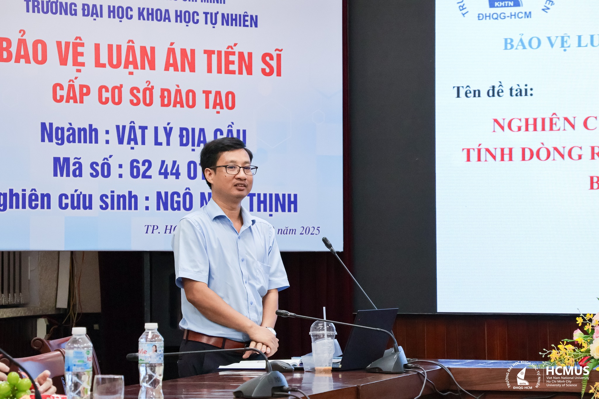
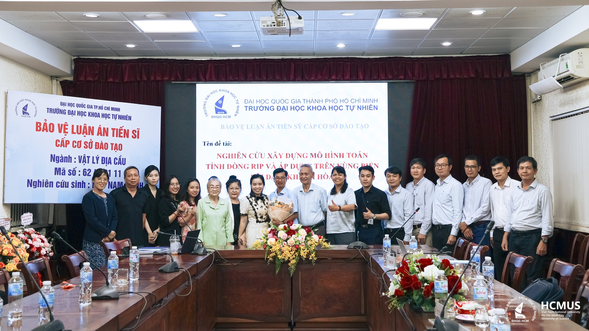
On 15 September 2025, at VNUHCM–University of Science, doctoral researcher Ngô Nam Thịnh successfully defended his doctoral thesis in Geophysics entitled “Developing a Mathematical Model for Rip Currents and Its Application to the Bai Dai Coast, Khanh Hoa Province”, supervised by Assoc. Prof. Nguyễn Thị Bảy.
The research addresses rip currents – hazardous offshore flows often found along beaches and a major cause of drowning incidents. The dissertation developed a mathematical model capable of simulating and forecasting rip currents in the Bai Dai area (Cam Ranh, Khanh Hoa). The model provides insights into rip current mechanisms, locations, and associated risks, with significant implications for coastal safety and management.
During the study, Mr Thịnh enhanced the HYDIST–RC model by incorporating a time-varying wave radiation stress module. The improved model was applied to assess rip current occurrence and behaviour under the combined effects of waves and tides. Model outputs were validated against field measurements at Bai Dai, showing strong agreement and confirming the model’s reliability.
The thesis highlights the strong influence of oceanographic conditions on rip current formation. Results showed that stronger waves produce faster currents and a greater number of rip channels. Seasonal variation was evident: up to 12 rip currents were identified during the northeast monsoon compared with only three during the southwest monsoon. However, the southwest season overlaps with peak tourism, increasing risks to beachgoers. Tidal variation was also significant: during ebb tide, rip current velocity rose by 0.2–0.4 m/s and rip length extended 5–10 metres further offshore, heightening hazard levels. The study also mapped specific rip current locations, distinguishing them from longshore currents and eddies.
The dissertation makes an important contribution by developing a Vietnamese-designed mathematical model for rip current forecasting, reducing reliance on international commercial tools. Beyond rip current prediction, the HYDIST–RC model can be coupled with seabed morphology modules to improve real-time forecasting accuracy. The outcomes provide both a scientific basis for coastal research and practical solutions for community safety, including recommendations for warning systems and lifeguard arrangements. The model offers potential for wider application across Viet Nam’s beaches, especially those with high tourist activity.
For the full abstract of the thesis, please refer to the official page: https://sdh.hcmus.edu.vn/2025/07/24/trang-thong-tin-gioi-thieu-luan-an-tien-si-cua-ncs-ngo-nam-thinh/
Leave a Reply