![[VNUHCM S&T PROJECT EVALUATION] MULTI-PARAMETER INVERSION PROCESS FOR ADDRESSING NON-UNIQUENESS IN GEOPHYSICAL INVERSE PROBLEMS](https://en.hcmus.edu.vn/wp-content/uploads/2026/02/CAT_4282-scaled.jpg "CAT_4282")
On 14 January 2026, VNUHCM–University of Science (HCMUS) convened an evaluation session for a Type-B VNUHCM-level research project entitled: “Multi-parameter inversion process for addressing non-uniqueness in geophysical inverse problems”, led by Assoc. Prof. Lê Văn Anh Cường.
The research focused on the analysis of extensive datasets within the field of Geophysics, encompassing mathematical models, high-frequency electromagnetic experiments (Ground Penetrating Radar – GPR), high-resolution shallow seismic data, and field measurements from sites such as Kevitsa (Finland) and Olympic Dam (South Australia). This diverse data repository served as a cornerstone for investigating the inversion processes of geophysical data.
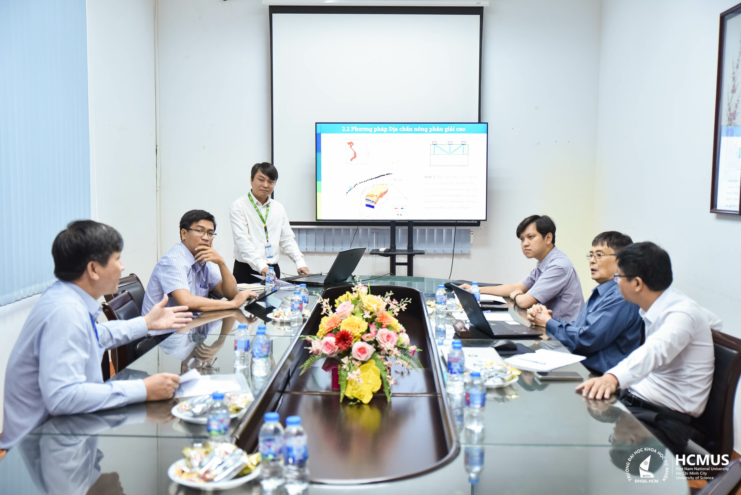
The study successfully implemented wavelet algorithms to represent GPR amplitude fields in three-dimensional space, facilitating the effective detection of underground anomalies. Furthermore, high-resolution shallow seismic methods were employed to delineate sedimentary boundaries and construct intuitive 3D models of seabed geological structures.
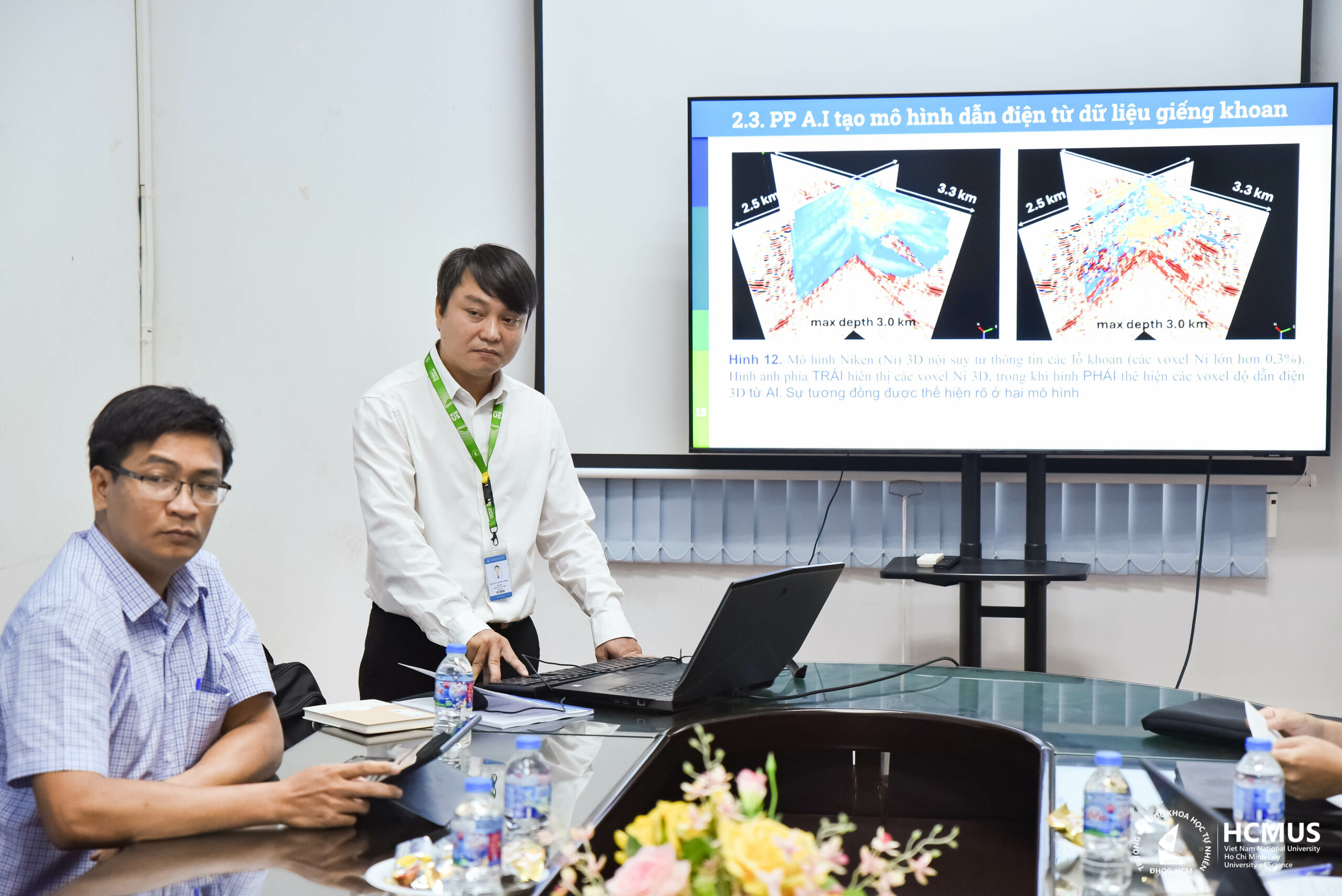
A primary highlight of this project involves the application of Artificial Intelligence (AI) and Machine Learning in data analysis. Specifically, Deep Learning assisted in identifying hyperbolic anomalies from GPR imagery, whilst shallow machine learning supported the prediction of resistivity values and mineral content (Nickel, Cu) within boreholes.
The research results also indicated that the integration of multiple methods (such as seismic and magnetotelluric data) remains a vital solution for reducing the non-uniqueness inherent in inverse problems, particularly in deep-seated study areas where verified geological information is scarce. Interpretative data from seismic surveys, such as Moho boundaries or fault lines, provided an essential foundation for selecting optimal resistivity models.
During the report session, the Professional Council expressed high regard for the project due to the profound scientific quality and evident practical applicability. The achievements not only address current challenges but also establish a significant framework for future research in Geophysics; notably, these findings provide robust support for underground utility surveys, mineral exploration, and the determination of geological structures.
Leave a Reply