
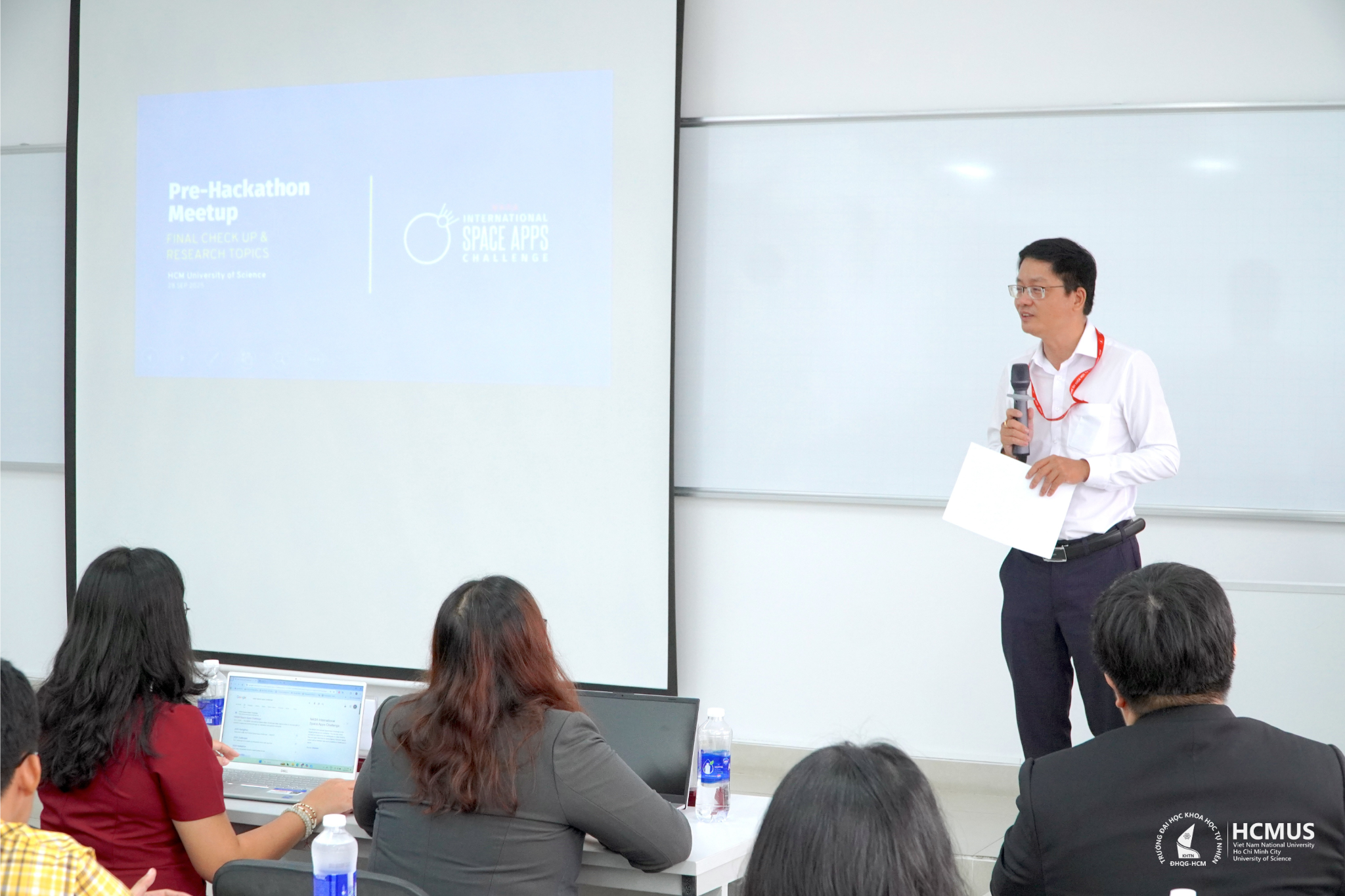
On 28 September, the Faculty of Geology at the VNUHCM-University of Science (HCMUS) cooperated with the Organising Committee of the NASA Space Apps Challenge Ho Chi Minh to hold the Pre-Hackathon Meet Up event. This activity serves as a kick-off ahead of the NASA Space Apps Challenge 2025 (scheduled for 4–5 October 2025 at VNG Campus), aiming to create a space for connection, professional exchange, and creative inspiration for the science and technology community.
Speaking at the programme, Assoc. Prof. Trần Văn Mẫn, Head of the Office of Science and Technology at HCMUS, affirmed the University always attaches importance to accompanying international academic and creative activities. He stressed that the NASA Space Apps Challenge is an opportunity for learners to train their research mindset, innovate their approach to problems, and connect with the wide-ranging global science and technology network.
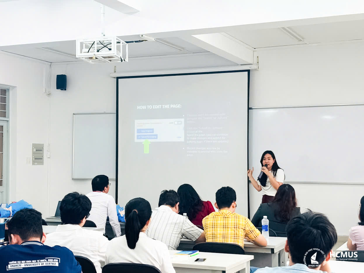
The programme opened with an introduction and updates on this year’s competition presented by MSc. Đinh Trần Phương Uyên (Representative of the NASA Space Apps Challenge Ho Chi Minh 2025 Organising Committee). Following this, a series of specialized reports provided a solid knowledge base on Earth Science, remote sensing, satellite data, and artificial intelligence, aiming to equip competing teams with the necessary tools to develop creative solutions.
Dr. Nguyễn Thị Tố Ngân (Faculty of Geology, HCMUS) introduced a study applying satellite imagery to monitor the regeneration of mangrove forests after Typhoon Durian in Can Gio, contributing important data for ecosystem conservation and management, linked to the Sustainable Development Goals (SDG 15).

From the perspective of space technology, Dr. Phạm Thị Mai Thy (HCMC Space Technology Application Centre) highlighted the power of optical and radar satellite data in Earth monitoring, serving resource management, urban development, and disaster prevention—aligning with the national remote sensing development strategy until 2040.

Practical applications were illustrated by Dr. Nguyễn Hoàng Anh (VNUHCM-University of Technology) through studies using Remote Sensing – GIS to map dengue fever risk (SDG 3), monitor coastal ecosystems (SDG 14, 15), as well as interpret water quality using AI with high accuracy (R² = 0.929), showing the great potential of technology in environmental management and public health.

To transform this huge source of knowledge and data into creative products, MSc. Trần Thanh Tùng (NASA Space Apps Organising Committee) introduced the Design Thinking method—a human-centred approach with five steps (Empathy – Define – Ideate – Prototype – Test). He encouraged teams to combine Design Thinking with the 17 Sustainable Development Goals, focusing on practical impact rather than just technical solutions, to create long-term and global value.

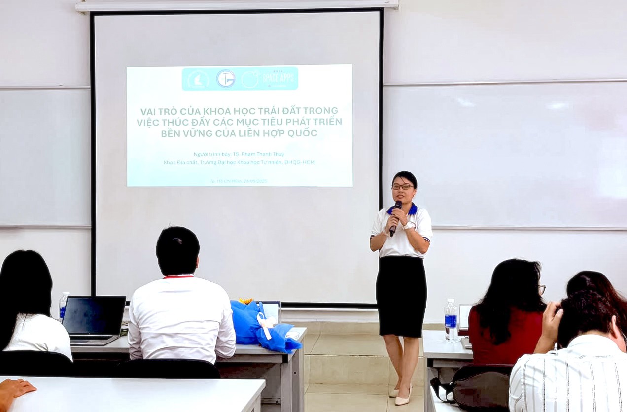
Concluding the programme, Dr. Phạm Thanh Thùy (Faculty of Geology, HCMUS) emphasized the essential role of Earth Science in achieving the SDGs through research on Earth systems, the application of satellite technology, GIS, and big data analysis, contributing to disaster forecasting, resource management, and environmental protection.
The Pre-Hackathon Meet Up event took place in a vibrant, open atmosphere, helping participants not only consolidate professional knowledge but also exchange ideas and explore research cooperation opportunities. This is considered an important stepping stone, adding energy to the Vietnamese science and technology community before officially entering the NASA Space Apps Challenge 2025—the prestigious global hackathon initiated and sponsored by NASA.
PMN
Leave a Reply